The Saline River is known throughout the South for its scenic beauty and its unique characteristic of being a mountain stream at its origin in the Ouachita Mountains and a Delta-type bayou near its mouth at Felsenthal (Union County), where the stream converges with the Ouachita River.
It is the last free-flowing river in the Ouachita basin. The river derived its name from a salty marsh located near its mouth, called by the French the “Marias Saline,” though some historians claim that a salt works started near Benton (Saline County) as early as 1827 gave the river its name. At one time, these salt works supplied the bulk of salt used in the territory as well as surrounding states. Although the northern section of the river was popular for its salt works, the southern section was known for its large fields of lignite. Exposures of lignite were found in many areas of the river, but the largest area was in Bradley County at Goulett Island. In 1860, Governor Elias N. Conway owned this area along the river.
The Saline rises north of Benton in the Ouachita Mountains and is formed by four forks that converge near Riverside in Saline County. The South Fork is thirty-eight miles long and is the only one not wholly formed in Saline County. The Middle Fork is thirty-seven miles long, and its banks are a paradise of wildflowers. Alum Fork is sixty-one miles long and is a dramatic stream, flowing at the base of towering cliffs. North Fork is the shortest at twenty-nine miles. The Saline meanders through Saline, Grant, Dallas, Cleveland, Bradley, Drew, and Ashley counties before it empties into the Ouachita River. Among the communities located near the river are Haskell (Saline County), Traskwood (Saline County), Prattsville (Grant County), Farindale (Dallas County), Staves (Cleveland County), Rison (Cleveland County), Warren (Bradley County), Possum Valley (Drew) and Longview (Ashley County).
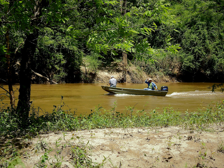
The Saline remains relatively unspoiled by man and creates an illusion of wilderness along much of its length. Dense forests line the river banks. Visitors may be treated to the sight of deer, mink, otters, beaver, muskrats and a variety of bird species. Fishing: The Saline is considered one of the most underrated fishing rivers in Arkansas. Smallmouth bass are found in the upper reaches; largemouth bass occupy the lower reaches; and the intermediate water between has a healthy population of spotted bass that overlaps into both areas. The warmouth, longear, and green sunfish top the panfish offering, with some bluegills and crappie. The river also has a good Arkansas Walleye fishery, and channel catfish are common. Rock bass are found in association with smallmouth bass on the upper third of the river. Fishing during much of the year is a "wade a little, fish a little" situation, making canoes the preferred choice of transportation.
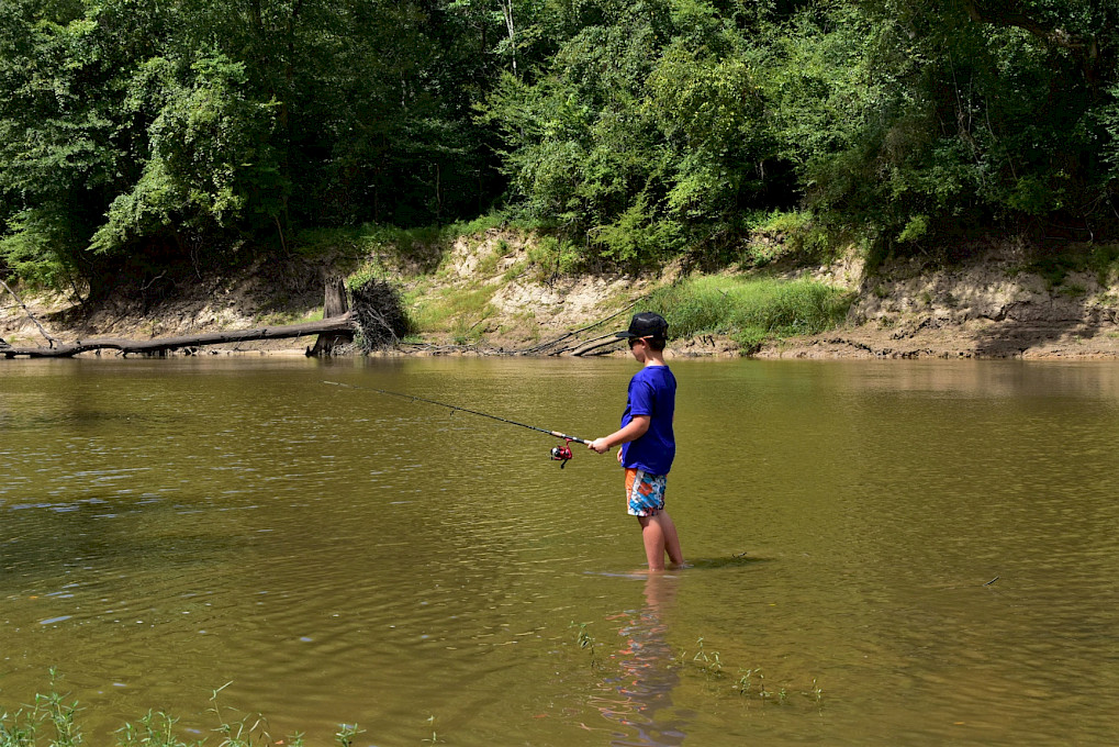
The sandy river beaches make for naturally clean water and picnic opportunities when water levels are right. Gravel beds along the river create good swimming spots.
In Drew County, the public access to the Saline River is located at Ozment Bluff near Possum Valley.
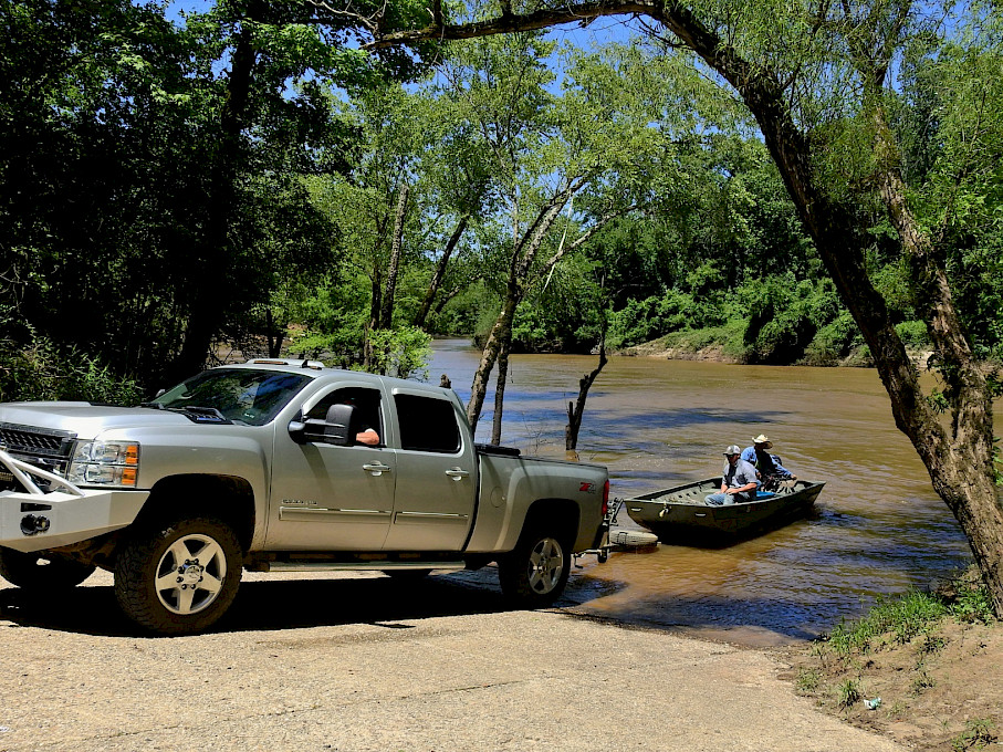
From the intersection of US Highway 425 and US Highway 278, turn west onto US Highway 278. Travel west on US Highway 278 for approximately 11.6 miles to Ben Loveless Road. Turn left (South) onto Ben Loveless Road. Travel South on Ben Loveless Road for approximately 7.5 miles. Turn right onto Ozment Bluff Landing Road and travel just less than 1 mile to the boat access.